XGRIDS
Vairumtirdzniecības cenas — tikai partneriem
Reģistrējieties kā B2B partneris, lai redzētu cenas, atlikumus un veiktu pasūtījumus.
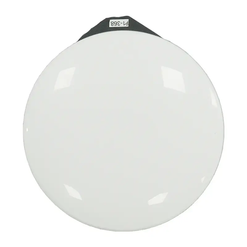
Reģistrēties un redzēt cenas Jau esat partneris? IenāktDesigned for high-precision measurements, the survey-grade RTK kit noticeably improves position-finding accuracy when scanning in demanding conditions, thanks to its extended transmission range. Support for a variety of satellite systems makes it possible to achieve precision of 0.8 cm horizontally and 1.5 cm vertically, guaranteeing reliable data acquisition in complex conditions.
ManufacturerXGRIDSProduct codeCZ02020003Supported channelsGPS; L1/L2/L5 GLONASS L1/L2 BDS; B1/B2/B3 Galileo; E1/E5a/E5b/E6bHorizontal Accuracy0.8 cm+1 ppmVertical accuracy1.5 cm+1 ppm